Surveying & Mapping
Urban Planning
Real-time Quantity Estimation
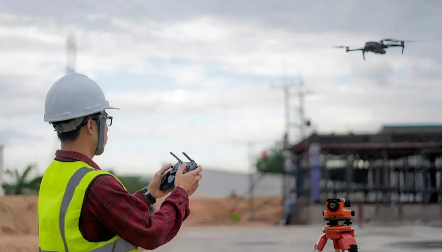
Construction
Drones have revolutionized the construction industry by offering unparalleled efficiency, accuracy, and safety. The drones can be employed throughout the construction lifecycle, from initial site surveys and progress monitoring to final inspections. Equipped with high-resolution cameras and sensors, drones enhance planning, reduce hazardous work, and streamline workflows, cutting costs compared to traditional methods.
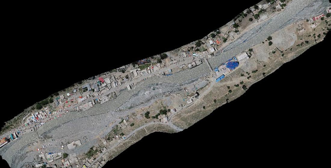
Surveying & Mapping
Perform Topographic survey to generate 2D maps, 3D Models, Point Cloud, DSM/DTM, and Contours with accuracy up to 1 cm & 0.7 cm/pix(Absolute)
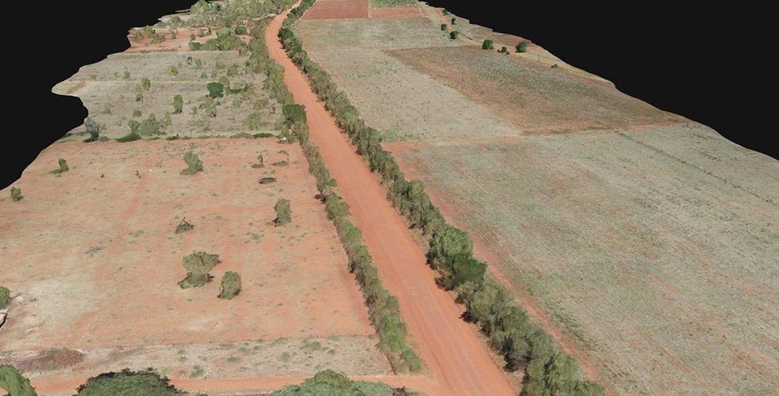
Urban Planning
Drones are revolutionizing urban planning with their aerial perspectives, providing precise mapping and data for smarter city development
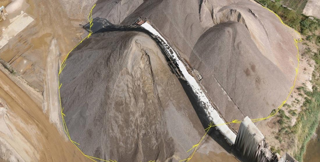
Real-time Quantity Estimation
Enhance earthwork operations through frequent and accurate earth movement and stockpile volume measurements
Request for a Quote
Please provide a quote for drone solutions including pricing, specifications, and delivery options.